


Pro cyclist Serena Gordon shares everything you need to know about biking in Bend
January 17, 2024
8 minute read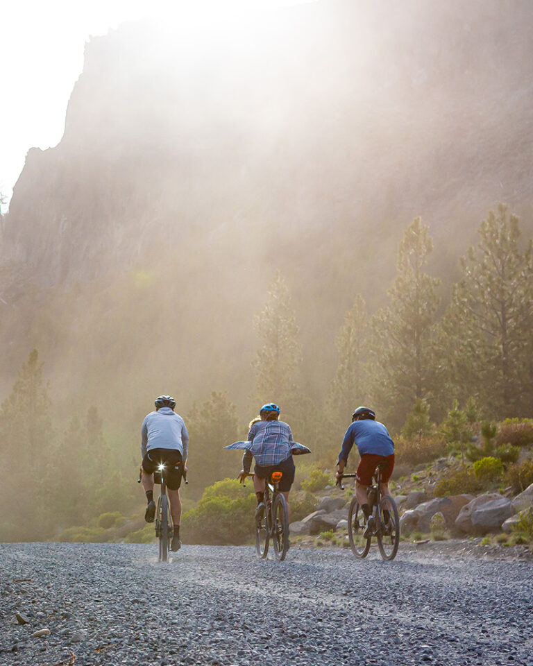
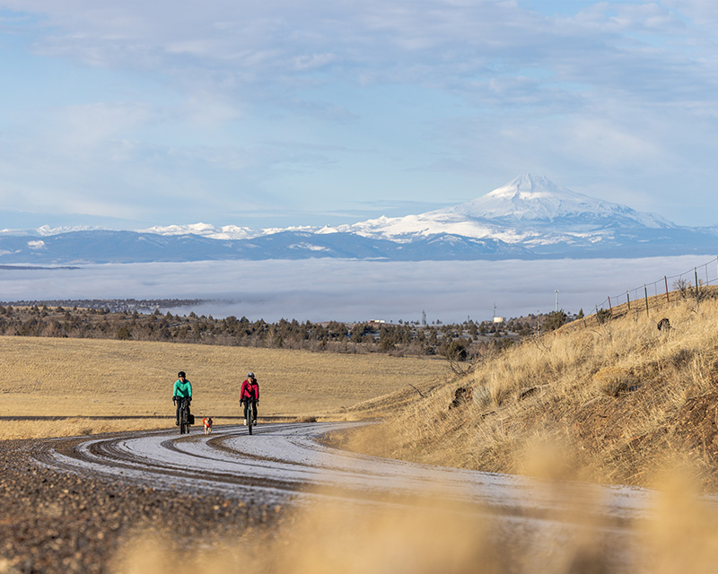
From the sprawling sage expanse of the High Desert to the historical alpine wagon roads cresting the Cascade Range, gravel riding in Bend offers an astounding degree of diversity to please riders of all backgrounds and abilities. The dynamic volcanic legacy of this region is hard to miss. Rugged fields of exposed lava rock, stunning mountain vistas, and loose volcanic soils serve as backdrop to everything we do here.
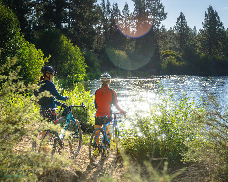
Flowing right through Downtown Bend, the Deschutes River acts as the dividing line for much of the contrast between densely forested subalpine terrain and the rolling, sagebrush and juniper landscape of the High Desert. Perhaps most interestingly, pockets of lush riparian zones spread out across that transition zone provide just the right dose of refreshment when the rawness of this region’s predominant defining characteristics starts to catch up to you.
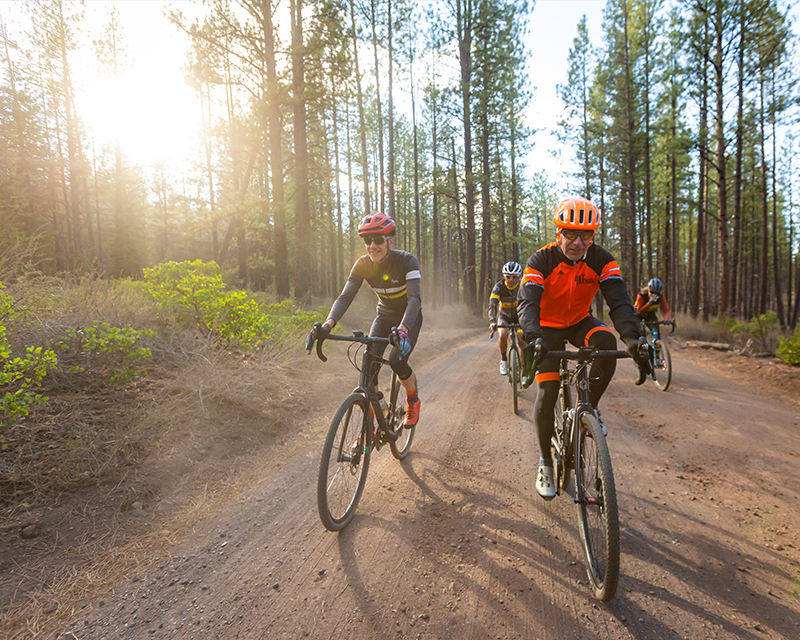
Whatever your interest, it’s hard to go wrong on the thousands of miles of unpaved road around this region. But for those keen on a handful of curated selections that excellently highlight each of these microregions, the Cascades Gravel Scenic Bikeway (CGSB) showcases six distinct routes in and around Bend, complete with photos, statistics, and GPS guidance.
Below we’ve sorted through each of these routes by seasonality. Just as with produce, modern technology has allowed us to enjoy most things all year round. But the fact remains, some things just taste best when enjoyed in season. Here’s our take on that dynamic, with a brief summary of each.
Get yourself a good tubeless tire setup on your gravel bike, if you don’t already have one, and a solid plug solution. Our favorite, hands down, is the Dynaplug. Pop the cap off the slick pencil-thick anodized aluminum chapstick tube and jab the pokey thing in the hole that your sealant is spewing from. Then, simply pull it back out and add a few more PSI as needed. This process is so easy that after the first few uses, you likely won’t notice any pressure loss at all. This micro-solution has quietly revolutionized the most common field mechanical out there.
Poke the Bear is the route we pick for winter, though this recommendation comes with a heavy asterisk. Although it is composed of mostly exposed terrain that tends to dry out faster than the other routes in the CGSB, try to ride this one a week or more after any precipitation, as the mud on this route can be a significant challenge (think, miles and miles of hike-a-bike). A note from the Dirty Freehub website: “Around Mile 10, where the road becomes more primitive, be on the lookout for mud. If you see mud, immediately turn around, as it will get MUCH worse. We can’t emphasize this enough!”
Catching this route on a dry day, even when the temperatures keep most riders indoors, can be a real treat for the soul. The same feature that keeps this riding well between storms (minimal tree cover) makes for incredible vistas of the Cascade Mountains to the west. This 33-mile loop lies just an hour’s drive north of Bend. You can make a day out of the journey by visiting the Madras Aquatic Center after your ride. You can enjoy a hot shower and a soak in the hot tub, followed by a beer and a burger at Madras Brewing Co.
Although the previous route can be a great option well into the spring, the Westside Tour is our pick for the spring season. Starting and finishing in Downtown Bend, this route features a good mix of terrain. There are gravel roads (watch out for mud), some paved bike paths, and a few short sections of paved road connectors as it winds through the outskirts of the west side of town.
This route is a modest 26 miles, with about 1,400 feet of vertical gain and little technicality to speak of. It makes a fun, family-friendly option and offers an excellent time for a wide range of ability levels. Highlights include Drake Park, the First Street Rapids waterfront of the Deschutes River Corridor, and Shevlin Park along Tumalo Creek. This route is our pick for Spring riding, but it is rideable well into fall. But be aware, as mid-summer can be rather hot and dusty.
Big Summit Prairie is one of the stoutest routes in the lineup in terms of both length and elevation gain. This area is home to a herd of wild horses and relics of the mining era and offers a quiet solace that is harder to come by around Bend. The Ochoco National Forest stands apart from the Deschutes National Forest, where most of these other routes lead through. It conjures a very different kind of soundtrack. Here, lava flows are swapped for vast grassy meadows. And the shadow of the Cascade Range gives way to the Ochoco mountains’ more modest presence. After a big day in the Ochocos, a stop by Tastee Treat in Prineville is always in order on the way back to Bend.
Sherman’s Waltz is our other pick for a prime summer gravel route on the CGSB. On any day of the year, watching a full-size river emerge from beneath the ground is a sight to behold. But that sight feels especially welcome on a hot summer day. The Head of The Metolius viewpoint serves as the start and finish of this loop. It’s also arguably the most distinctive feature.
On this ride, you’ll loop through the refreshing riparian zones along the Metolius. Ride up through the ghostly snags of the 20-year-old recovery zone of the B&B Fire. Then, tackle the dry cinder climb around Abbot Butte, offering picturesque mountain views. Finally, descend straight back down to the rushing Metolius river corridor. This modest route provides a taste of the best gravel riding Central Oregon has to offer.
Don’t miss out on a stop at the Camp Sherman General Store around mile 43 for a snack break or a sandwich for the road. The nearby town of Sisters also has multiple tasty eateries. Start with a morning pick-me-up to get you going for the day at Angeline’s Bakery. Enjoy quick walk-up Americana diner fare at the Sno Cap. Or savor in a proper post-ride meal and bevvy at Three Creeks Brewing Co. Although both gravel routes are first-rate, please note that they are each a 60-75 minute drive from Bend, so make sure you plan accordingly. Water refills and snack options on either route are pretty much limited to what you bring with you in your ride kit.

Big Red is ironically the shortest route in the lineup, at just 17 miles with only around 500 feet of elevation gain. It’s named after Oregon’s largest ponderosa pine tree, coming in at 500+ years old. But what it lacks in distance, it makes up for with scenery. Aside from its namesake, this route features a waterfall, two rivers, and a piece of the La Pine State Park singletrack trail network. Plan for a 30-minute drive to get to the start of this route, and consider a stop in Sunriver on the drive back home. You’ll find great dining options and a full-service market, all centrally located in the Sunriver Village.
The final route in this series is a fantastic progression from the previous option, both in geography and scale. Following the Deschutes River a handful of miles downstream, the Water & Lava route is just under double the length of Big Red. It mostly parallels the river corridor, but begins and ends just outside of Bend. The key distinction with this route is the immense lava flow that makes half of this ride feel almost otherworldly, especially from atop the Lava Butte cinder cone, whom you can thank for the moonscape.
With around 500 feet of elevation gain in about a mile, climbing to the top of Lava Butte is not for the faint of heart. But the mountain views and the accomplishment felt atop this lonely cinder cone are worth all the effort in spades, especially when you remember that it’s all downhill back to the river.
Each of these routes is incredible in its own right. We’ve tried to suggest the best seasons to ride them, but feel free to mix it up if your schedule aligns differently with our recommendations. Don’t hesitate to ride them in a different order that suits you. Most of the routes ride great between late spring and early fall. For the winter option, however, we’ll stick with our selection. If you yearn for more good winter riding options, look due east. Dirty Freehub has many more documented on their website. Or simply head up into the mountains for a day in the snow!
However you cut it, we’re confident you’ll find joy in the many gravel riding options the Bend area has to offer. Each is unique to this place in a way that keeps riders from all walks of life coming back for more.
Whether the calling comes before or after your adventure, a good bike shop is always important to keep in your back pocket for those last-minute nutrition runs, a rental option, or a mechanical issue that is likely to bog you down on your big day out. Believe it or not, a shop’s development of a culture of staff who are knowledgeable and friendly to the gravel cycling crowd can still be hard to come by, as the newest discipline on the block. So although there are plentiful options nearby, here are a handful of our favorites from around the area to aid in your experience with the Cascade Gravel Scenic Byway.
Bend – Crow’s Feet: A Mountain Collective
Prineville – Good Bike Co.
Sisters – Blazin’ Saddles
Sunriver – Village Bike & Ski
January 17, 2024
8 minute read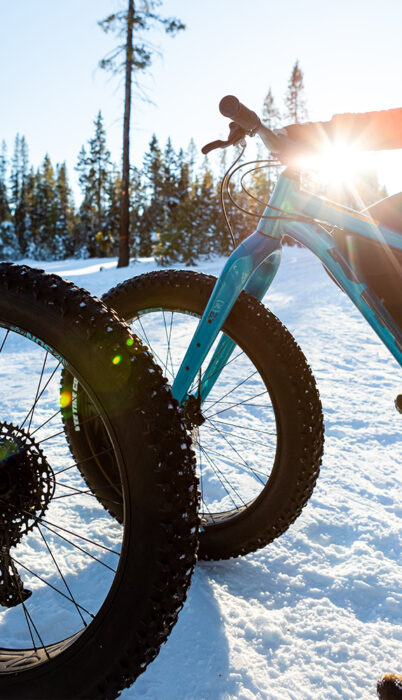
September 25, 2023
6 minute read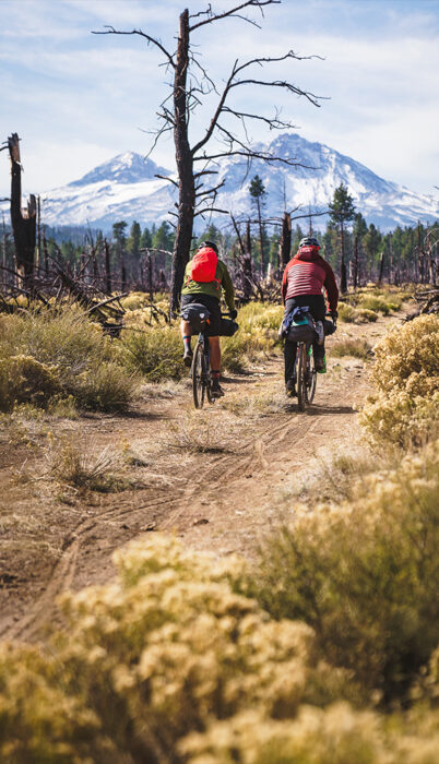
September 20, 2023
6 minute read
September 7, 2023
7 minute read
August 21, 2023
5 minute read
July 10, 2023
7 minute read